Navigation and Positioning
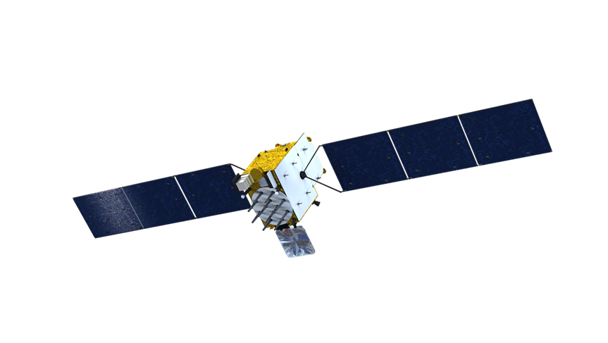
CAST can provide solutions to navigation satellite in LEO, MEO, IGSO and GEO. Beidou Navigation Satellite System (BDS) is a typical case, which is a temporal-spatial infrastructure of national significance:
? Providing all-time and high-accuracy positioning, navigation and timing services to global users
? Widely used in transportation, agriculture, forestry, fisheries, communication, power dispatching, disaster relief, public security, enterprises and other fields
? Serving national significant infrastructures, resulting in remarkable economic and social benefits
Beidou Navigation Satellites for Various Orbits

BDS possesses following outstanding characteristics:
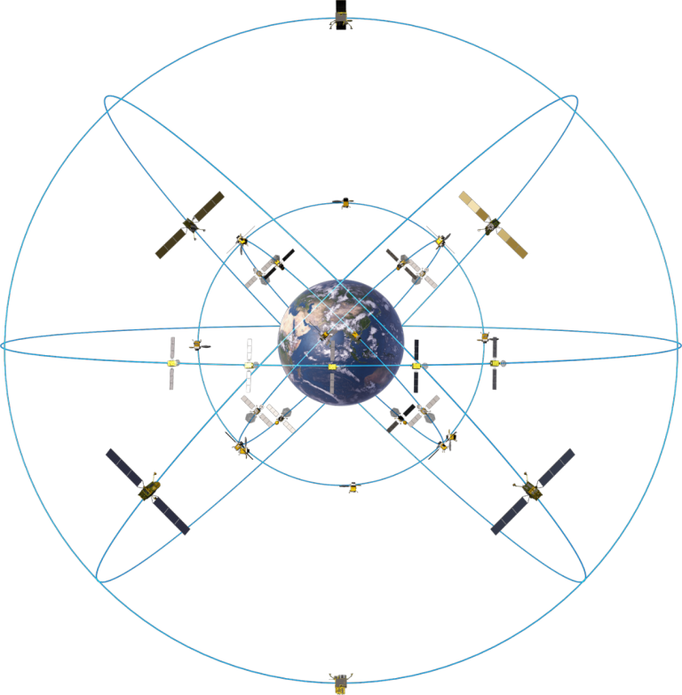
? Hybrid constellation: more satellites in high orbits to offer better anti-shielding capabilities
? Combined multi-frequency signals: to improve navigation service accuracy
? Integrated navigation and communication function: to provide multiple services, namely, positioning, navigation and timing short message communication, international search and rescue etc.
Constellation

BDS had been independently constructed by China in three steps:
? BDS-1, constructed by 2000, including 2 satellites in GEO orbit, providing services to China
? BDS-2, constructed by 2012, including 14 satellites in GEO, IGSO and MEO orbit, providing services to the Asia-Pacific region
? BDS-3, completed in 2020, including 30 satellites in GEO, IGSO and MEO orbit, providing services worldwide
Development History

